
In December 2017, my backpacking bestie Joan and I spent time in the Chiricahau Mountains including a couple of days at the Chiricahau National Monument. Ever since I’ve had a return on my list so I could fully explore the area in less snowy conditions.

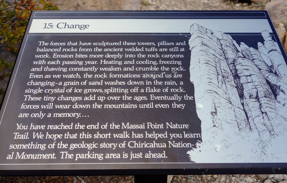
Massai Point Nature Trail
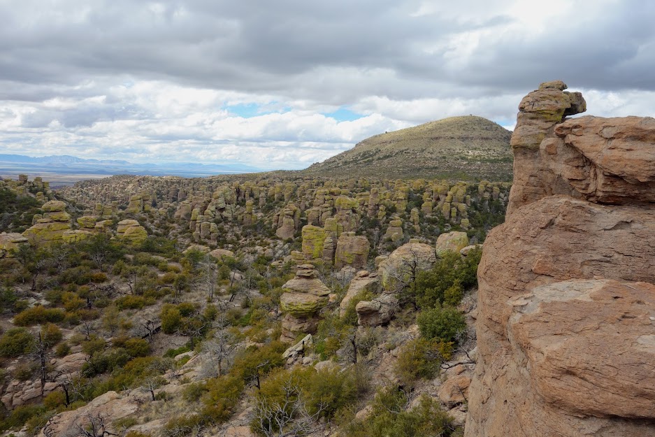
I arrived mid day so after a stop at the Visitor Center, where I made a shuttle reservation for the next day, I drove to Massai Point to stretch my legs while learning about the geology on the nature trail.

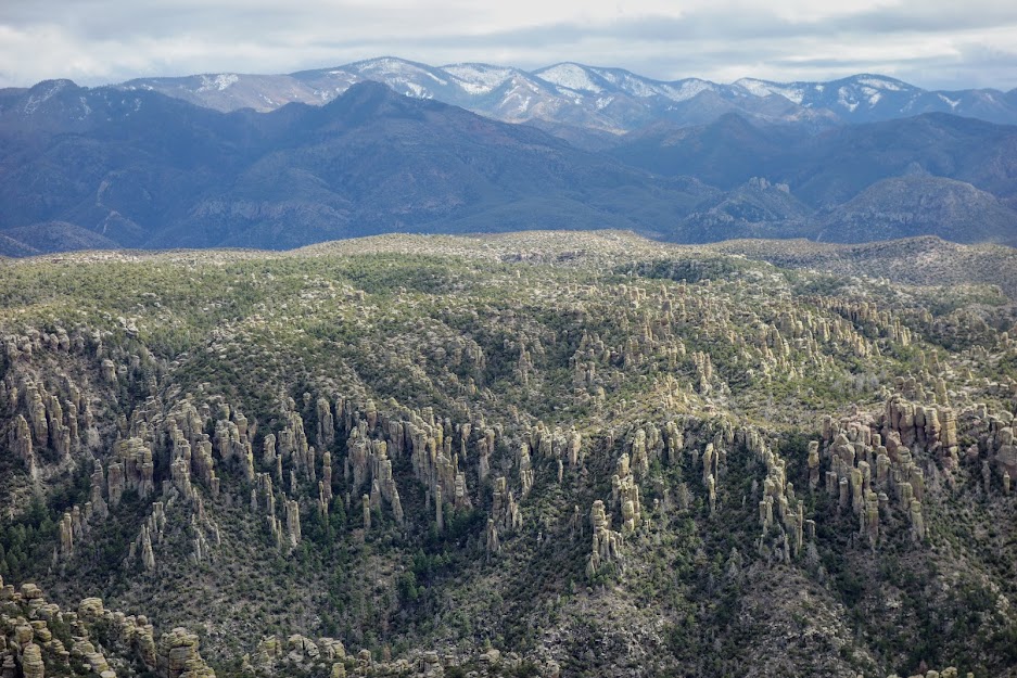
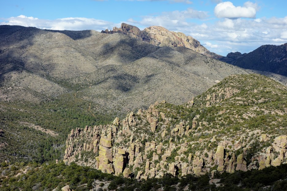
The Chiricahua Apache called this the Land of Standing Up Rocks. These spires are the result of volcanic activity.


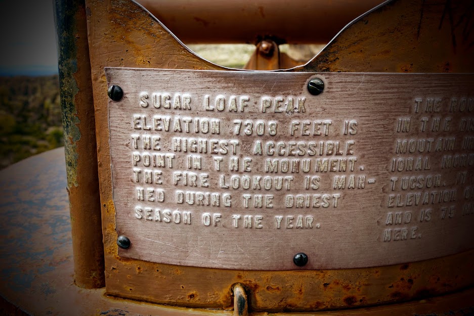
Sugarloaf Mountain Lookout
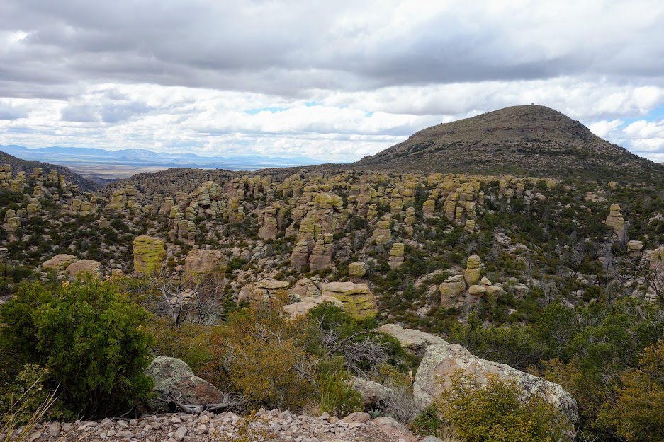
Joan and I hiked nearly every trail in the park but not this one. So how I could I resist? Plus at less than 2 miles round trip it was a perfect for this afternoon where I was short on time. This is the view of the lookout from Massai Point.
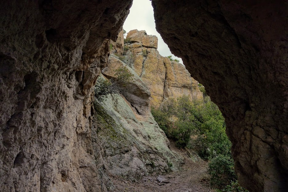
Not far from the trailhead you hike through this cool rock tunnel.

It was a little early for wildflowers but the manzanita was starting to bloom.

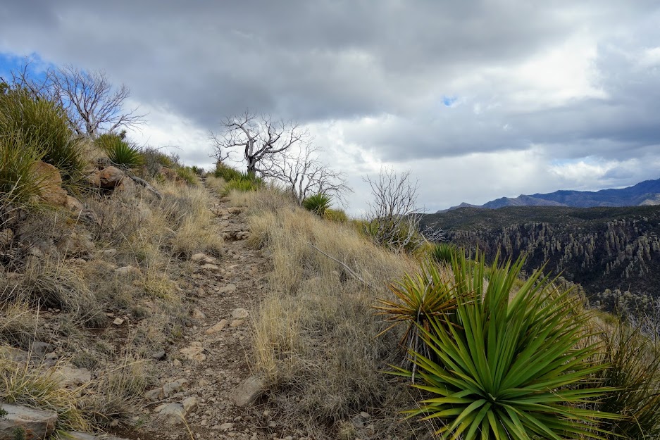
It was a moody day threatening rain. I only saw two others while hiking this trail.
First views of the lookout.

The lookout was locked up on the day I visited. I noticed a broken window and a missing pane which I reported to the Visitor Center.

I found the survey marker.

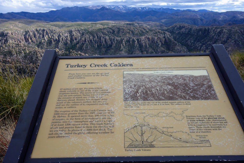
There was interpretative signage including this one about Turkey Creek Caldera. I’d like to visit that area on a future visit.
The 360-degree views were outstanding. I forgot to update my Peak Finder App so couldn’t quickly identify the mountains.
Cochise Head is very recognizable.
Adventure Date(s):
- March 13, 2020
Hike Details: Tips:
Tips:
- The nearest dispersed camping is on Pinery Road (FS Road 42). Although there were several others camped nearby, it was a very disruptive night with lots of Border Patrol traffic.
- Ask for the Hiking Guide at the Visitor Center.
- If you plan to hike more of the Chiricahua Mountains/Wilderness aka Cave Creek Canyon, I recommend getting the Green Trails Map (link) of the area.
- Nearest resupply town is Willcox. At the time of this writing there was a Safeway. There was also a TA Travel Center for shower and laundry.
Resources:
Links:
I participate in the Amazon affiliate program and may receive a commission on qualifying purchases linked in this post. It doesn’t affect your price but it helps support this site.

That area is so cool! It looks like an army of stone people, and it reminds me of a sci-fi movie where people are turned to stone and taking over the world. Are hikers in any danger from falling pieces of the stone pillars?
Good analogy. Everything felt solid but maybe I would avoid if earthquake.