
COSPAR ID 2011-044D Mission duration 3 years Launch date 17 August 2011 Launch site Dombarovsky | SATCAT no. 37791 Launch mass 93 kilograms (205 lb) Rocket Dnepr | |
 | ||
Operator State Planning Organization (DPT) Website rasat.uzay.tubitak.gov.tr/about/ Manufacturer TÜBİTAK Space Technologies Research Institute (TÜBİTAK UZAY) Mission type Earth observation satellite Similar Göktürk‑2, BILSAT‑1, Göktürk‑1, Türksat 6A, Türksat 4B | ||
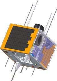
Transportation of rasat satellite to yasny launch site part 2
RASAT is an earth observation satellite designed and developed by TÜBİTAK Space Technologies Research Institute (TÜBİTAK UZAY) and produced in Turkey to provide high resolution imagery. It is so the first one of its art completely realized in Turkey, and the second indigenously developed remote sensing satellite after BILSAT-1.
Contents
- Transportation of rasat satellite to yasny launch site part 2
- Transportation of rasat satellite to yasny launch site part 1
- Mission
- Images
- References

Financed by the State Planning Organization (DPT) and designed by TÜBİTAK UZAY without any international know-how transfer, RASAT was launched from Dombarovskiy Cosmodrome, near Yasny in Russia by a Dnepr space launch vehicle at 08:12:20 UTC on August 17, 2011 along with seven other satellites Sich-2 and BPA-2 of Ukraine, NigeriaSat-2 and NigeriaSat-X of Nigeria, EduSat of India as well as AprizeSat-5 and AprizeSat-6 of Italy. RASAT was placed 16 minutes and 9 seconds after the lift-off into a low Earth orbit of 685 km (426 mi). The first signal from RASAT was received in the space center of Andøya Rocket Range, northern Norway at 09:44.04 UTC. RASAT is controlled and observed at the space center of TÜBİTAK UZAY in Ankara.

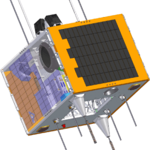
Transportation of rasat satellite to yasny launch site part 1
Mission
Projected for a mission duration of three years, RASAT is on a sun-synchronous geocentric orbit. Its instruments, supplied by the South Korean space technology company Satrec Initiative, allow a spatial resolution of 7.5 m (25 ft) at panchromatic band and 15 m (49 ft) at multispectral band. RASAT carries out various civil applications on mapping and planning, disaster management, ecosystem monitoring, environmental control, landcover survey and coastal zone management. Additionally, RASAT is used to test a custom designed on-board computer "BiLGE" capable of using SpaceWire network, a solid-state processor "GEZGİN-2" (an abbreviation for "GErçek Zamanda Görüntü İşleyeN") for real-time image compression using algorithm of JPEG 2000 and a telecommunication system "Treks" of X band transmitter module with 100 MB/s data transfer rate and 7 Watt power.
Images

The first images were received in Ankara on October 8, 2011. With images captured by the satellite between 2012 and 2014, a "mosaic map" of Turkey was compiled. More than 3,000 images showing an area of 30 km × 30 km (19 mi × 19 mi) each were used for the map. The map images are available ay the website "gezgin.gov.tr" in the image file formats of .ecw (high image resolution: 9 GB, low image resolution: 50 MB), .jp2 (21.8 GB, 33 MB), .tif (35.7 GB, 58.1 MB), .img (45.6 GB, 85.7 MB) and KMZ (11.3 MB). The map is distributed to governmental agencies, particularly to the State Hydraulic Works (DSİ) and Mineral Research and Exploration (MTA). In 2013, three-dimensional relief maps of Turkey created by RASAT are offered on the web. Customers are able to order and download their actual map requirements.

As of November 15, 2015, RASAT took images of 9,546,200 km2 (3,685,800 sq mi) Earth surface on 22,699 orbitings since its launch on August 17, 2011.
A research project, named "Geoportal", was launched by Ministry of Development on January 15, 2013 with an application run-time of four years. Images were uploaded on August 19, 2014 to the portal, which is open to use by public services and universities. As of November 17, 2015, 6,517 processed images captured by RASAT were uploaded to GEZGIN portal.